


|
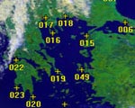
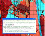
1. Geometric correction of an AVHRR image
The aim of this lesson is to show the limitations of a linear transform applied to an Advanced Very High Resolution Radiometer (AVHRR) image, of the Mediterranean Sea. It demonstrates the need for a quadratic transform to achieve good rectification of the image and to demonstrate the influence of a poor GCP on the rectification process.
More information and lesson download
|
|
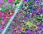
2. Covariance and correlation matrices and interpreting PCA loadings
This lesson introduces you to principal components analysis (PCA). It shows you how PCA is carried out, how the covariance or correlation matrices are calculated and how to calculate the eigenvalues and the percentage of total variance accounted for by each principal component.
More information and lesson download
|
|
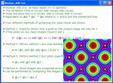
3. Advanced use of formulas
The aim of this lesson is to present some advanced uses of formula documents, including Boolean algebra, trigonometric functions, modular arithmetic, and x, y constructs (which allow you to refer to specific pixels in an image by their column (x) and row (y) coordinates).
More information and lesson download
|
|
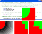
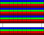
4. Simple GIS exercise using Bilko
The aim of this lesson is to show you how a stacked set of raster layers in Bilko can be manipulated as a simple Geographic Information System (GIS) using formula documents to perform the necessary operations.
More information and lesson download
|
|
5. Applying geographical coordinate grids to images
This lesson teaches how to use formula documents to apply Universal Transverse Mercator (UTM) grids to colour composites of both terrestrial and coastal images such as would be useful for guiding field surveys.
More information and lesson download
|
|
6. Opening binary flat files in Bilko
This lesson introduces image file formats and explains how to open a binary flat file exported from another package into Bilko.
More information and lesson download
|
|
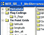
7. Using flag code images
Using MERIS level 1B data as an example, this lesson shows how to use the bit-wise operators of formula documents with flag coding information that is provided with some images.
More information and lesson download
|
|
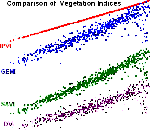
8. Vegetation indices
This lesson introduces a range of two-band and three-band vegetation indices, explores how to use Bilko formula documents to implement these, and explains how libraries of generic formulae (in this case, for mapping vegetation) can be created.
More information and lesson download
|
 Previous: Bilko tutorial
|
Last update: 31 January 2018 | Contact |  |
Site Policy |
Next: Classification

|