


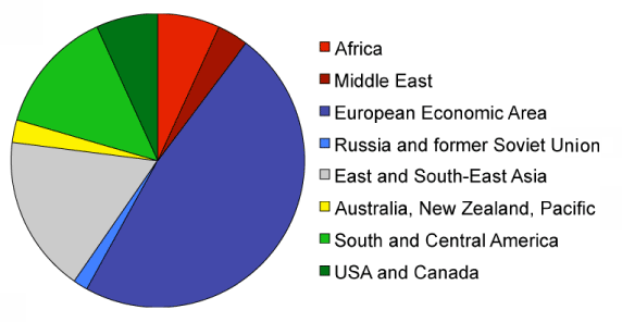
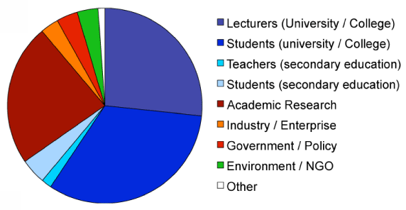
Who uses Bilko?
Bilko currently has around 7500 users distributed across different continents and user groups as shown in the figures on the left. The combination of software and 'off-the-shelf' lessons, makes Bilko a valuable resource for organisers of workshops and training courses in coastal and marine remote sensing.
A bit of history: from 1987 until today
Bilko was launched in 1987 as part of UNESCO's Coastal and Small Island Intitative (CSI). At the time remote sensing was the domain of experts with access to mainframe computers running costly software. Bilko, with its free software for low-cost PCs supported by hands-on tutorials, soon became an attractive option for higher education courses, schools and individuals wanting to learn satellite data analysis. During its first 15 years Bilko gained some 2000 users in over 70 countries.
In 2003, the project moved to UNESCO's Intergovernmental Oceanographic Commission (IOC). With support from the European Space Agency (ESA) the software was upgraded and lessons revised in order to handle marine data from Envisat. By 2012 the project had attracted 6500 new users from more than 1500 organisations in 174 different countries. The European Framework 7 projects DevCoCast (2009-2011) and EAMNet (2010-2013) led to further updates of Bilko, following suggestions from African users of ocean colour and sea surface temperature data distributed in these projects. In 2013-15 the ESA LearnEO! project brought another series of upgrades and 10 new lessons, available from the LearnEO! web site.
Upgrades currently in the pipeline will give support for coastal and marine data from the European Sentinel satellites, and for coastal altimetry data distributed through the UK Space Agency funded C-RISe project.
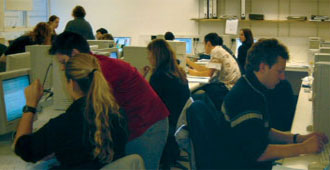
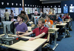
UK students testing a new Bilko lesson.
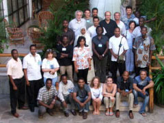
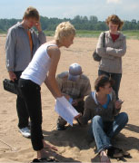
WIOMSA/CRTR workshop
Ocean Colour Africa, 2007
Ocean Colour Africa, 2009.
ESA summer school, 2010
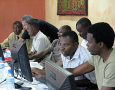
WIOMSA altimetry workshop
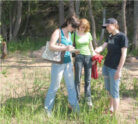
Russian students ground-truthing a coastal erosion study.
 Previous: C-RISe Lessons
|
Last update: 15 January 2021 | Contact |  |
Site Policy |
Next: Bilko Authors

|