


1. Visual interpretation of images with the help of colour composites: getting to know the study area
Author: Dr Alasdair J.Edwards, University of Newcastle, UK.
Aim of Lesson
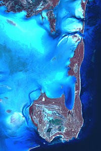
To learn how to interpret satellite and airborne digital imagery visually, relate features revealed on images to features on the Earth's surface, and understand how images can help in planning field survey.
Learning Objectives
- To become proficient in preparing colour composite images of both satellite and airborne imagery for visual interpretation.
- To learn to use field reconnaissance data to assist in visually interpreting images.
- To understand how satellite and aerial imagery may be used to aid planning of field surveys.
- To introduce you to the problem of differential attenuation of light of different wavelengths through the water column.
How to download the lesson
| Last update: 20 August 2018 | Contact |  |
Site Policy |
Next: Lesson 2

|